The Burren
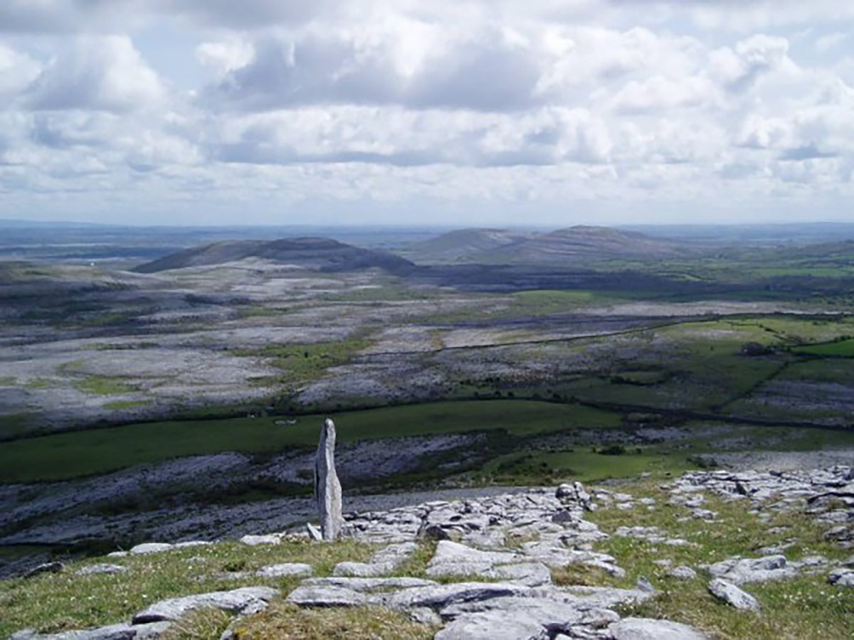
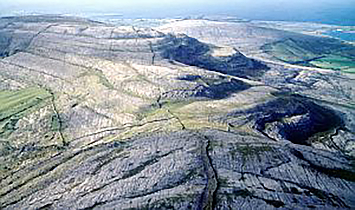
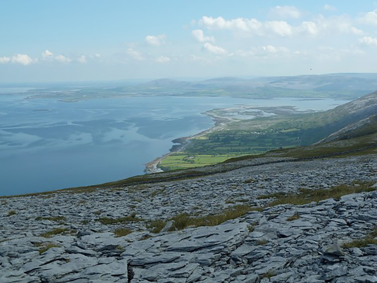
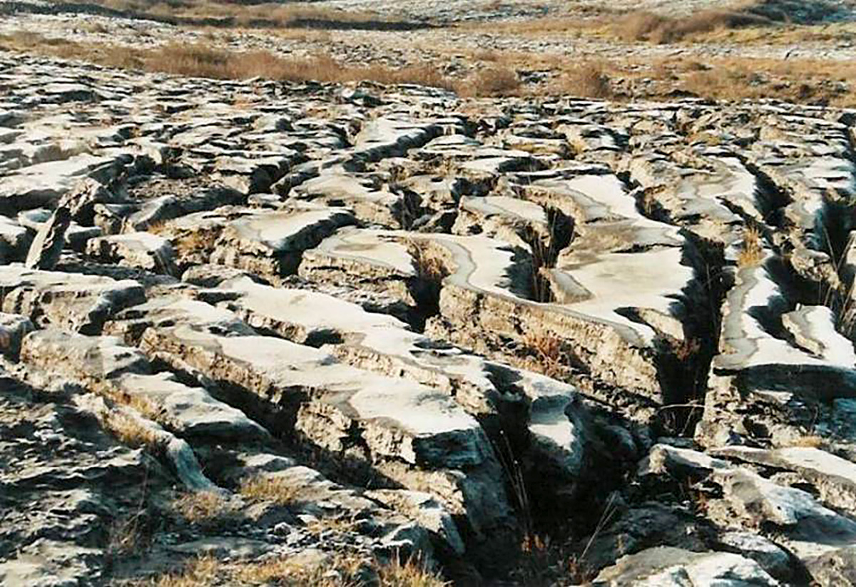
The Burren – from the Irish ‘boireann’ meaning rocky place – comprises most of North Clare, and represents the largest expanse of limestone paving in the world. The limestone originated as sediments of the sea. The odd-shaped hills, valleys and erratic boulders result from movements in the earth’s crust some 270 million years ago, followed more recently by the effects of glaciers.
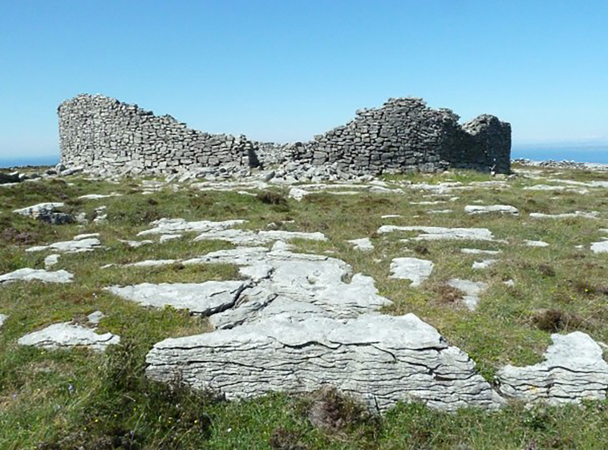
First settled in the Stone Age some 4-5000 years ago, the evidence of successive generations are remarkably preserved precisely because of the stony topography. Archaeologists have identified some 66 ancient tombs and 450 hut or ‘fairy-fort’ locations, along with various cairns and other remains. Among the most visited locations are
- The Poulnabrone portal dolmen
- The nearby Caherconnell fort, which has a visitor centre
- The triple-walled fort of Cahercommaun
- The Poulawack cairn
- Dun Irghuis, above Black Head.
There are also many other ancient structures, including dozens of church ruins – for example the magnificent Corcomroe Abbey near Bell Harbour – and a number of holy wells, including one just by Kilfenora Square.
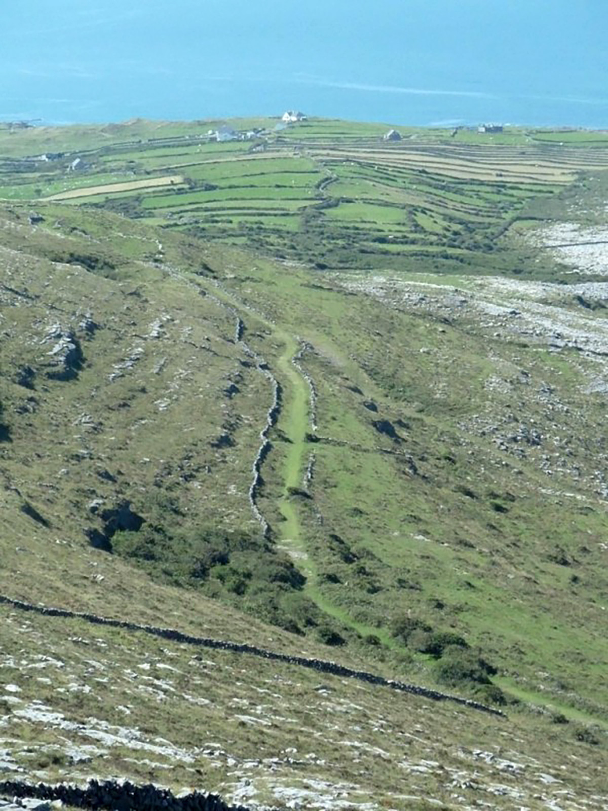
Walkers may take advantage of several ‘green roads’ – the old droving routes cutting through the limestone terraces and valleys. More tragically some Famine roads can be found – remnants of the Potato Famine era.
Care needs to be taken when walking in the Burren – it is easy for both humans and the limestone paving to suffer damage – and there are considerable areas of hazelwood scrub in which to get lost. It is best to take advantage of the various walking tours on offer in the area, also because these provide a thorough explanation of the flora, fauna and geology of the area.
One of Cromwell’s marauding generals, Edmund Ludlow, complained in 1652-1 that “after two days march, without anything remarkable but bad quarters, we entered into the barony of Burren, of which it is said, that it is a country where there is not water enough to drown a man, wood enough to hang one, nor earth enough to bury him.” Today’s visitors are better informed, be they:
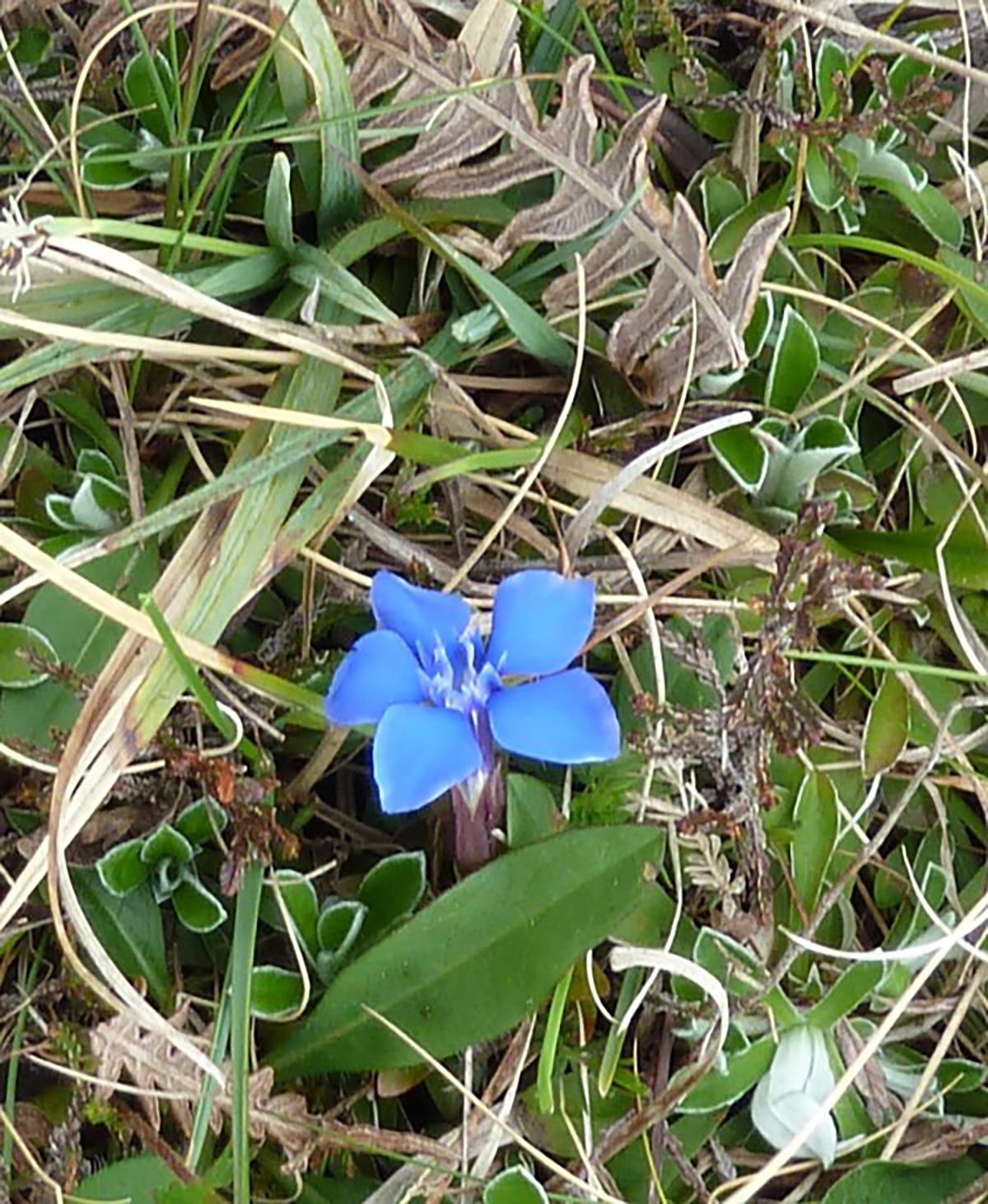
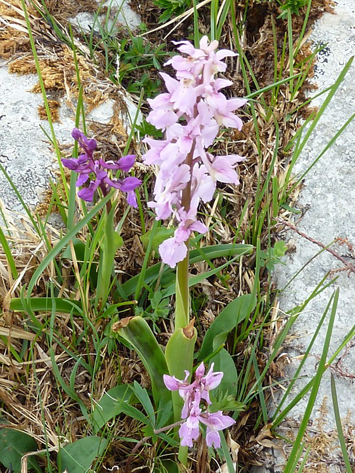
- admirers of the Burren’s wildflowers – especially in Spring – or serious botanists marvelling at the juxtaposition of Arctic and Mediterranean species side by side
- experienced potholders exploring the vast cave and water passage systems underground – or mere enthusiasts visiting the famous Aillwee Caves
- observers of wildlife, for example the Burren’s elusive herds of feral goats and unique species of insect
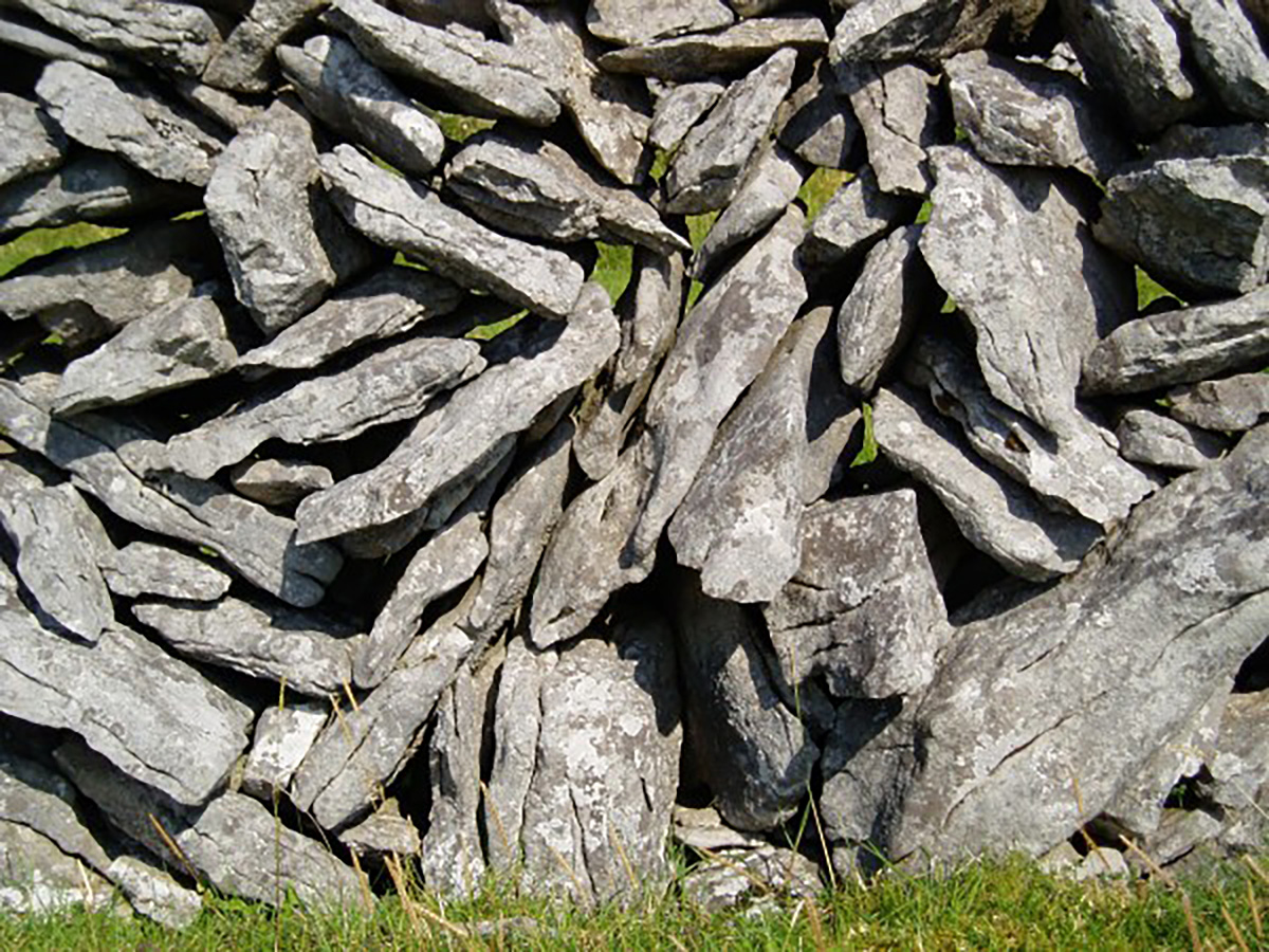
- photographers and artists admiring the array of weird shapes – such as in the paving and the Burren’s unique stone walls – and stunning light effects to be experienced through the seasons
- hill walkers seeking out the sweeping vistas inland across terracing and turloughs (vanishing lakes) or out across Galway Bay to the Connemara Hills, or to the trio of Aran Islands
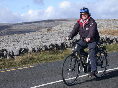
Cyclists, walkers and motorists can tour gently round a network of minor roads, stopping for refreshments and shopping in the various villages, visitor centres at Aillwee, Caherconnell and the Cliffs of Moher, the Burren perfumery near Carran or the Rock Shop at Liscannor.
The most comprehensive information on the area is available at the Burren Centre in Kilfenora. You can also download a detailed information booklet here – the Burren Passport
In 2011, an area of some 530 square miles and 100 miles of coastline was designated by UNESCO as the Burren and Cliffs of Moher Geopark, in recognition of the many sites of geological interest (geosites) https://www.burrengeopark.ie/
Other sources of information include
- the Burren National Park website
- the Burren Ecotourism Network – an association of local tourism business
- Burrenbeo Trust – which engages in education, research and conservation work in the Burren, and keeping the Burren ‘special’.
